
Waqrapukara is a remote archaeological site south of Cusco, built on a rock formation with two great stone “horns” above the canyon of the Apurímac River. It is far quieter than Rainbow Mountain or Machu Picchu, and reaching it takes a full day: a long drive and a hike across the high Andean grasslands.
This guide from Machu Picchu Team, a local tour operator in Cusco, explains what Waqrapukara is, how to get there, the hiking routes, the altitude, the best time to go and what to bring.
Waqrapukara at a Glance
| Topic | Details |
|---|---|
| Location | Acos district, Acomayo province, Cusco region |
| Altitude | About 4,100 to 4,300 m, depending on the point measured |
| From Cusco | About 3 to 4 hours by road, then a hike |
| Hike | Moderate; about 3 to 6 hours round trip, depending on the trailhead |
| Best season | April to October (dry season) |
| Heritage status | Cultural Heritage of the Nation (2017) |
| Our tour | Waqrapukara Trek, from USD 80 |
What Is Waqrapukara?
In Quechua, waqra means horn and pukara means fortress, so the name is usually translated as “Horn Fortress”. The “horns” are two tall rock pinnacles that give the site its famous silhouette.
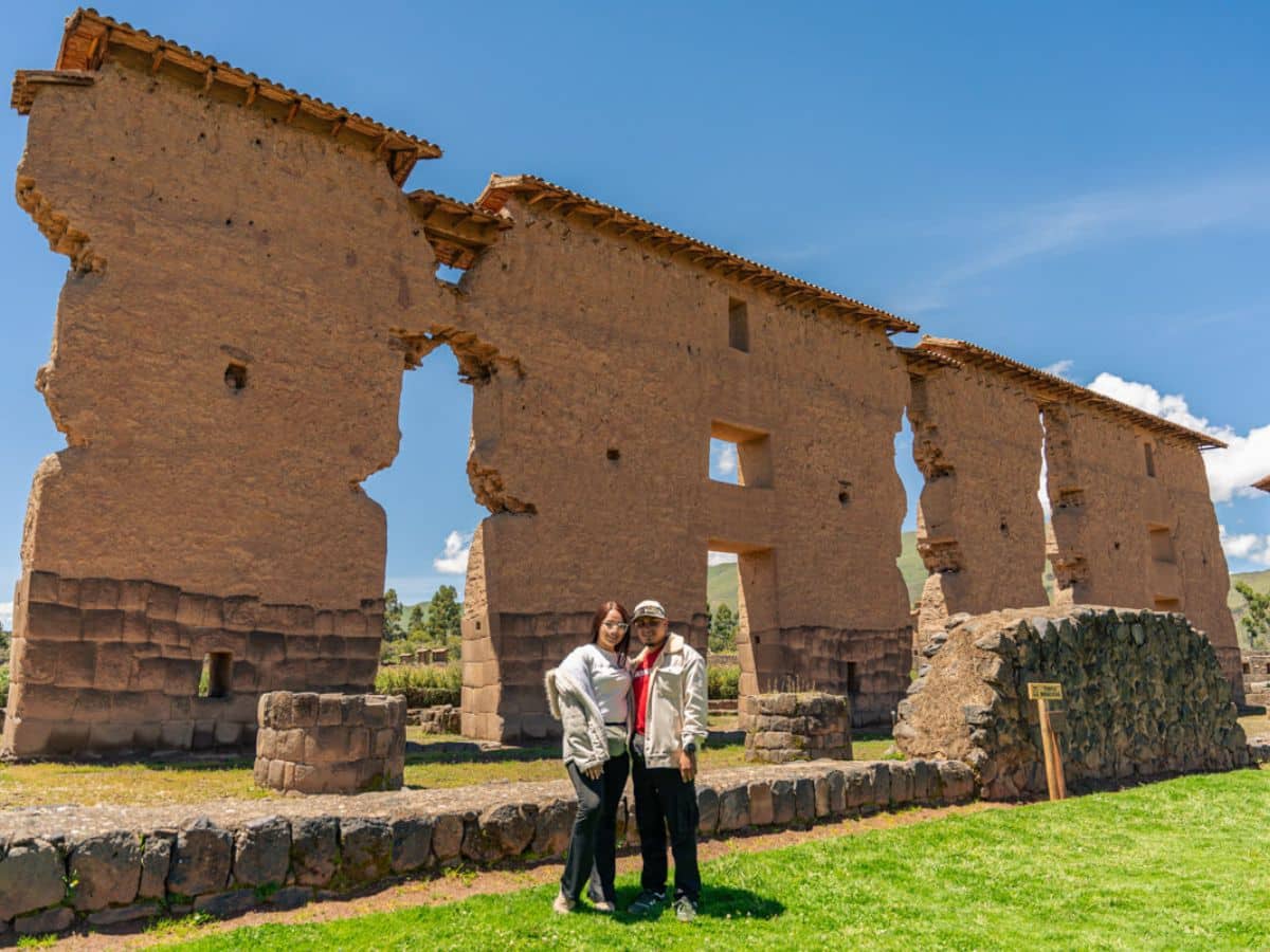
Despite the name, it was probably more than a fortress. The site was first used by the Qanchi people, who lived in this area before the Incas, as a sanctuary. The Incas later took it over, added walls, terraces, doorways and enclosures, and used it for religious, administrative and lookout purposes. What makes Waqrapukara special is the way the stonework is built into the natural rock, on the edge of a deep canyon.
How to Get to Waqrapukara
There is no road to the site itself: you drive to a trailhead and walk. There are two main routes:
- From Santa Lucía (via Pomacanchi): the shorter, more popular hike for day trips. It crosses rolling grasslands and reaches the viewpoints above the canyon.
- From Sangarará: a longer hike of about 8 km each way (roughly 2.5 hours there and 3 to 3.5 hours back), with more time in the open landscape.
There is no public transport to the trailheads, so most travelers visit on an organized tour. Our Waqrapukara Trek (from USD 80) picks you up in Cusco at 4:30 AM and includes transport, a guide, breakfast, lunch, the entrance fee, a trekking pole and a first-aid kit, in groups of up to 12. You are back in Cusco in the early evening.
Waqrapukara Hike: Difficulty and Altitude
The hike is not technical, but the altitude makes it moderate. You walk at more than 4,000 m, higher than Cusco (3,400 m) and similar to Humantay Lake (4,200 m). The trail has a few uphill sections and uneven, rocky ground near the ruins.
| Waqrapukara | Rainbow Mountain | Humantay Lake | |
|---|---|---|---|
| Highest point | About 4,100–4,300 m | About 5,000 m | About 4,200 m |
| Trail | Longer, gentler | Steep final climb | Short, steep climb |
| Crowds | Few visitors | Busy | Busy |
| Highlight | Inca and pre-Inca site in a canyon | Colorful mountain | Turquoise glacier lake |
Spend at least two full days in Cusco or the Sacred Valley before the trip, walk slowly and drink water. Do not make Waqrapukara your first activity after flying in. Read our guide to altitude sickness in Cusco.
What You Will See at Waqrapukara
- The two horns: the rock pinnacles that frame the site, best photographed from the trail before you arrive.
- Stone architecture: walls, terraces, staircases, doorways and ceremonial spaces built into the rock.
- The Apurímac canyon: cliffs that drop hundreds of meters to the river.
- Rural Andes: farming communities, alpacas, llamas and sheep along the way.
Best Time to Visit Waqrapukara
- April to October: dry season, with clear skies, firm trails and the best photos. June to August has the coldest mornings.
- November to March: rainy season. The landscape turns green, but trails get muddy, roads can be affected and clouds may cover the canyon.
Check the forecast with SENAMHI before you go.
What to Bring
- Hiking shoes with good grip
- Warm layers, a wool hat and gloves for the early start
- A rain jacket, even in the dry season
- Sunscreen, sunglasses and a hat
- At least 1.5 liters of water and some snacks
- A small daypack, personal medication, toilet paper and soles in cash
There are no shops or restaurants at the site, and the phone signal is weak or absent.
Is Waqrapukara Worth It?
Yes, if you have already seen the classic sites and want an adventure with few people around. It is ideal for hikers and photographers with five or more days in Cusco. If you prefer a shorter day, choose a site closer to the city. A good plan is: Cusco, the Sacred Valley, Machu Picchu, then Waqrapukara.
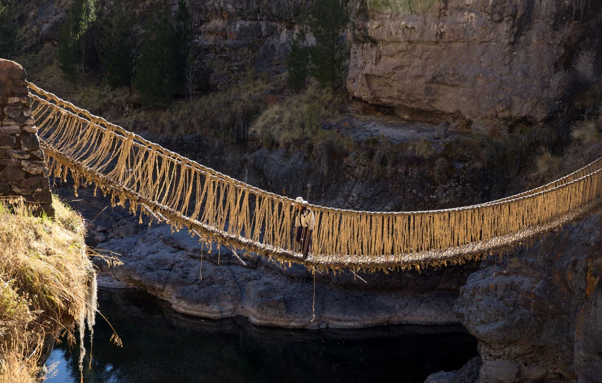
Looking for other quiet day trips? See Qeswachaka Bridge, Pallay Punchu, Vinicunca vs Palcoyo and all our tours in Cusco.
FAQs About Waqrapukara
What does Waqrapukara mean?
“Horn Fortress”, from the Quechua words waqra (horn) and pukara (fortress), after the two rock pinnacles above the site.
How high is Waqrapukara?
About 4,100 to 4,300 m above sea level, depending on the point measured, so it is higher than Cusco.
How long is the hike?
It depends on the trailhead: about 3 to 4 hours round trip from Santa Lucía and about 6 hours from Sangarará, plus time at the site.
Is the Waqrapukara hike difficult?
It is moderate. The trail is not technical, but the altitude makes uphill sections tiring. You need basic fitness and good acclimatization.
Can I visit Waqrapukara without a tour?
Only with your own transport. There are no buses to the trailheads, and the route is not well signposted.
Who built Waqrapukara?
The Qanchi people first used the site as a sanctuary, and the Incas later expanded it.