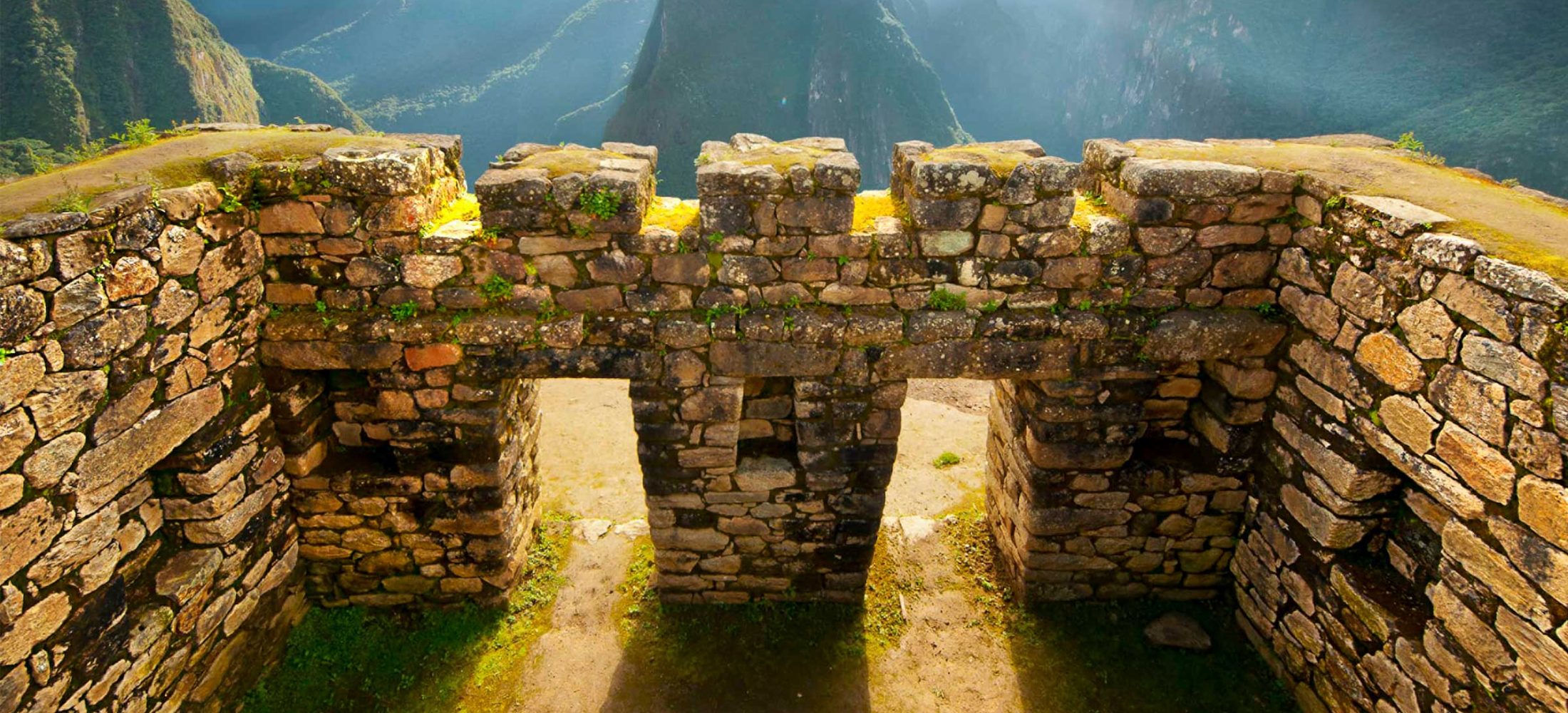

Llactapata gives you a distant view of Machu Picchu across the valley when the clouds clear. You reach it on foot from Lucmabamba. The view is an introduction to the landscape around the citadel, and your timed visit takes place separately the next day.
Where is Llactapata on the trek?
The route climbs from Lucmabamba through cloud forest to about 2,700 m (8,860 ft). From Llactapata, the itinerary goes downhill toward Hidroeléctrica and then along the railway corridor to Aguas Calientes.
On the four-day Salkantay itinerary, this is Day 3. On the five-day itinerary, it is Day 4. The four-day itinerary describes the full stage as approximately 24 km (15 mi) and 8–9 hours. That includes the onward walk and is more than a short lookout hike.
What should you expect to see?
In clear conditions you can look across the valley toward the Machu Picchu ridge. The view is distant, and visibility can change quickly in cloud forest. Bring binoculars if you want to pick out details and keep a rain layer where you can reach it.
Even in cloud, the stage takes you through forest and over sections of old Inca path before the descent. Pace yourself on the climb and keep water and snacks in your daypack for the long afternoon.
Can you skip Llactapata?
Check before booking if the climb or distance is a concern. The four-day tour lists an optional zipline in place of the Llactapata hike. Ask which parts of the onward route you would still walk and whether the change suits your group.
If you want to see the viewpoint as part of the standard trek, compare the four-day route via Llactapata and the five-day route with a valley day beforehand. Ask us about trail conditions and departure dates when planning your trip.