
Machu Picchu location: the Inca citadel stands in the Cusco region of southern Peru, on a mountain ridge above the Urubamba River, at 2,430 meters (7,972 feet) above sea level and about 80 km (50 miles) northwest of the city of Cusco. It sits where the Andes meet the Amazon cloud forest, which is why it is surrounded by steep green peaks, mist and tropical vegetation.
Machu Picchu location at a glance
| Country | Peru |
| Region | Cusco |
| Province | Urubamba |
| District | Machu Picchu |
| Nearest town | Aguas Calientes (Machu Picchu Pueblo), at the foot of the mountain |
| Altitude | 2,430 m / 7,972 ft |
| Coordinates | 13°09′48″ S, 72°32′44″ W |
| Distance from Cusco | About 80 km in a straight line; 3 to 4 hours by road and train |
Where is Machu Picchu?
Machu Picchu is in the district of the same name, in the province of Urubamba, in the Cusco region of southern Peru. The citadel was built on a ridge between two mountains: Machu Picchu Mountain to the south and Huayna Picchu to the north. Far below, the Urubamba River wraps around the ridge on three sides.
The ruins are protected inside the Historic Sanctuary of Machu Picchu, a natural and cultural reserve of 32,592 hectares (about 326 km² or 80,500 acres). The sanctuary is part of Peru’s national system of protected natural areas (SINANPE), and in 1983 UNESCO declared it a World Heritage Site, both for its Inca architecture and for its biodiversity.
Machu Picchu altitude
The Machu Picchu altitude is 2,430 meters (7,972 feet) above sea level. That is almost 1,000 meters lower than Cusco (3,400 m), so most travelers feel better at Machu Picchu than in the city. The mountains around it are higher:
- Huayna Picchu: the peak in the classic postcard photo, rising behind the citadel.
- Machu Picchu Mountain: the taller peak on the opposite side, with a longer climb and wide views.
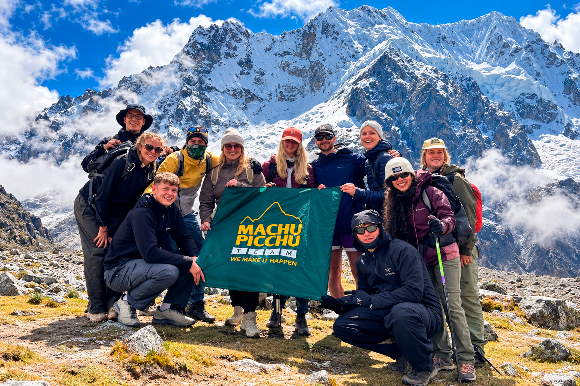
- Salkantay (6,271 m): the highest snow peak of the region, crossed on the Salkantay Trek.
Spend at least a day or two in Cusco or the Sacred Valley to acclimatize before your visit, especially if you plan to climb one of the mountains.
How to get to Machu Picchu
The Machu Picchu location, deep in a river canyon, means there are no roads to the citadel from Cusco. Every route ends in Aguas Calientes, the town at the foot of the mountain, and from there a bus climbs to the entrance in about 25 to 30 minutes (you can also walk up in about 1.5 hours). These are the main ways to get there:
| Route | How it works | Best for |
|---|---|---|
| By train | Road from Cusco to Ollantaytambo (about 1.5 to 2 hours), then the train to Aguas Calientes (about 1.5 hours). | Most travelers; the fastest and most comfortable way. |
| By car | Road from Cusco to Hidroeléctrica (about 6 to 7 hours), then a walk of 2 to 3 hours along the railway. | Travelers on a budget. |
| On foot | Treks such as the Inca Trail, the Salkantay Trek or the Inca Jungle Trail, from 1 to 5 days. | Active travelers who want an adventure. |
Read more about each route in our guides to the train to Machu Picchu, how to get from Cusco to Ollantaytambo and how to get from Aguas Calientes to Machu Picchu.
Tours to Machu Picchu from Cusco
If you prefer everything organized (transport, train, entrance ticket and guide), these are our most popular options:
- Machu Picchu Full Day Tour by Train: from USD 280, there and back in one day.
- Machu Picchu 2 Day Tour by Train: from USD 310, with a night in Aguas Calientes.
- Machu Picchu Tour by Car 2 Days: from USD 130, the budget route via Hidroeléctrica.
- Short Inca Trail 2 Days: hike the last section of the Inca Trail and enter through the Sun Gate.
See all options on our Machu Picchu tours page.
What is Machu Picchu?
Machu Picchu means “old mountain” in Quechua, after the peak that rises above the ruins: even the name describes the Machu Picchu location. Historians believe it was built in the 15th century, around 1450, by order of the Inca ruler Pachacutec, probably as a royal estate and religious center. It was connected to the rest of the empire by the Qhapaq Ñan, the Inca road network, and a section of it is the Inca Trail that hikers still walk today.
The citadel has two main sectors: the agricultural sector, with its stone terraces, and the urban sector, with temples, plazas, houses and royal buildings such as the Temple of the Sun and the Intihuatana. The Spanish never found it, which is why it is so well preserved. It became known worldwide after Hiram Bingham’s expedition in 1911, and in 2007 it was chosen as one of the New Seven Wonders of the World.
Weather at Machu Picchu
Because of the Machu Picchu location on the edge of the cloud forest, Machu Picchu has a mild, humid climate: warm days and cool nights all year. The dry season runs from April to October, with clearer skies and the most visitors. The rainy season runs from November to March, with greener landscapes, afternoon showers and fewer people. Machu Picchu is open every day of the year.
Visiting tips
- Entrance tickets: they are sold for a specific circuit and time slot, and the number per day is limited. On its own, the ticket costs USD 45 for adults and USD 25 for children from 3 to 17, or USD 65 with Huayna Picchu or Machu Picchu Mountain. Read our Machu Picchu tickets 2027 guide and the Machu Picchu circuits.
- Passport: bring the same original passport you used to buy your ticket and train.
- Book early: from May to October, book several months ahead; Huayna Picchu and Machu Picchu Mountain sell out first.
- Bring: a rain jacket, sunscreen, insect repellent, water and comfortable shoes.
Frequently asked questions about the Machu Picchu location
Which country is Machu Picchu in?
Machu Picchu is in Peru, in the Cusco region in the south of the country.
How far is Machu Picchu from Cusco?
About 80 km (50 miles) in a straight line. The trip by road and train takes about 3 to 4 hours each way, which is why many travelers stay one night in Aguas Calientes.
What is the altitude of Machu Picchu?
2,430 meters (7,972 feet) above sea level, lower than Cusco at 3,400 meters.
What are the coordinates of Machu Picchu?
13°09′48″ S, 72°32′44″ W.
Can you drive to Machu Picchu?
Not all the way. You can drive to Ollantaytambo and take the train, or drive to Hidroeléctrica and walk 2 to 3 hours to Aguas Calientes. From Aguas Calientes, only the shuttle bus or your own feet reach the entrance.
Is Machu Picchu in the Andes or in the Amazon?
Both: it stands on the eastern slopes of the Andes, where the mountains meet the Amazon cloud forest.